Mapping the current shape of Rhode Island’s shores requires detailed geographic data, georeferenced aerial photos, and precise elevation data. Currently, the Coastal Resources Management Council (CRMC) shoreline change maps document changes to all Rhode Island shoreline (except Block Island) since 1939.
These maps use orthophotos (digitally corrected and processed aerial photos), LiDAR (elevation determination using technology similar to radar), eelgrass aerial photo images, and post-Superstorm Sandy aerial photo images. Updated shoreline change maps are being prepared as part of the upcoming CRMC Shoreline Change Special Area Management Plan (Beach SAMP), which is expected to be completed by summer 2018.
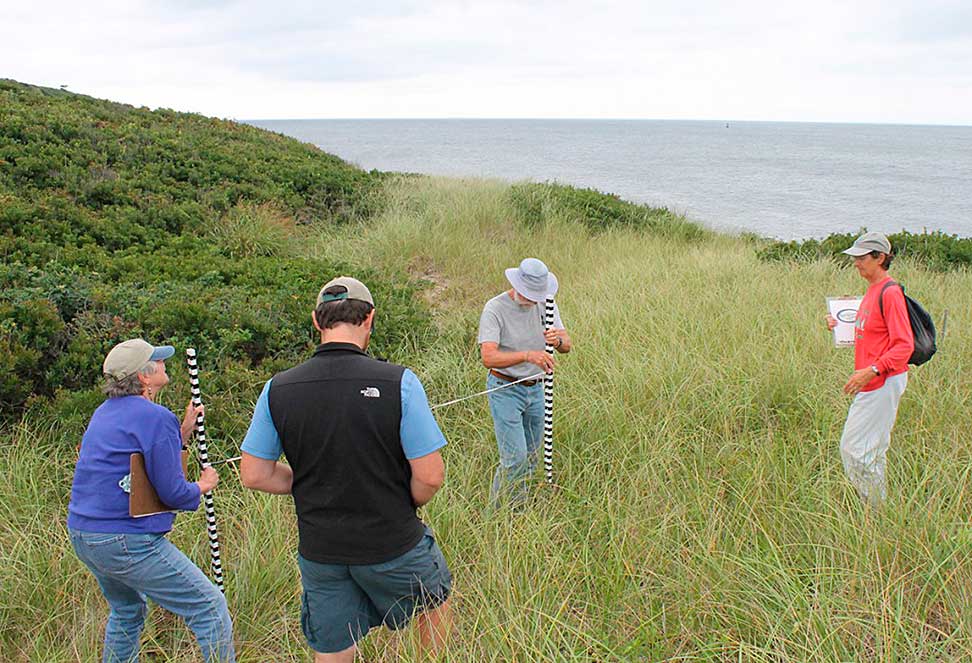
In 2014, URI obtained aerial orthoimages using federal grant funding to calculate shoreline change up to and including 2014. Maps for Washington County were updated with 2014 data (released in 2016) and maps for other Rhode Island areas are current to 2003-2004, with an update based on 2014 data forthcoming.
The entire Block Island shoreline has been traversed with a real-time kinematic (RTK) GPS unit to establish an accurate wet-dry line along the high tide line to assist in calculating shoreline change. This equipment uses satellite navigation signals, just as your personal or car GPS unit, but includes reference stations and processes the signals differently to get much more accurate location readings, sometimes to within two centimeters of accuracy. In addition, an expansive collection of shoreline images is indexed in a Google Earth KMZ file for referencing conditions as of 2014.
Implemented By
- Coastal Resources Management Council
- University of Rhode Island Coastal Resources Center
- Rhode Island Sea Grant
- University of Rhode Island Department of Geosciences
- University of Rhode Island Environmental Data Center
A Softer Approach to Shoreline Protection
With damage from recent hurricanes and increasing rates of sea level rise and shoreline erosion, traditional hardened shorelines using infrastructure such as seawalls are a hot topic in Rhode Island. While these hard shoreline structures can protect the erosion of personal property, they also have negative environmental impacts as they prevent natural movement of sediment, can magnify negative impacts at adjacent to the structures, and can harm the plant and animal life that makes our shorelines diverse and valuable. Additionally, there are practical considerations, such as the expense to build and repair structures that can survive high-energy waves (about $5,000 per foot of wall). Walls tall enough to be effective may also be a visual blight (20 feet would be required along Rhode Island’s south shore) and communities may opt for shorter walls that are ineffective and only provide a feeling of security in lieu of reality. Areas adjacent to a sea wall may experience even greater erosion due to wave energy that is deflected by the wall.
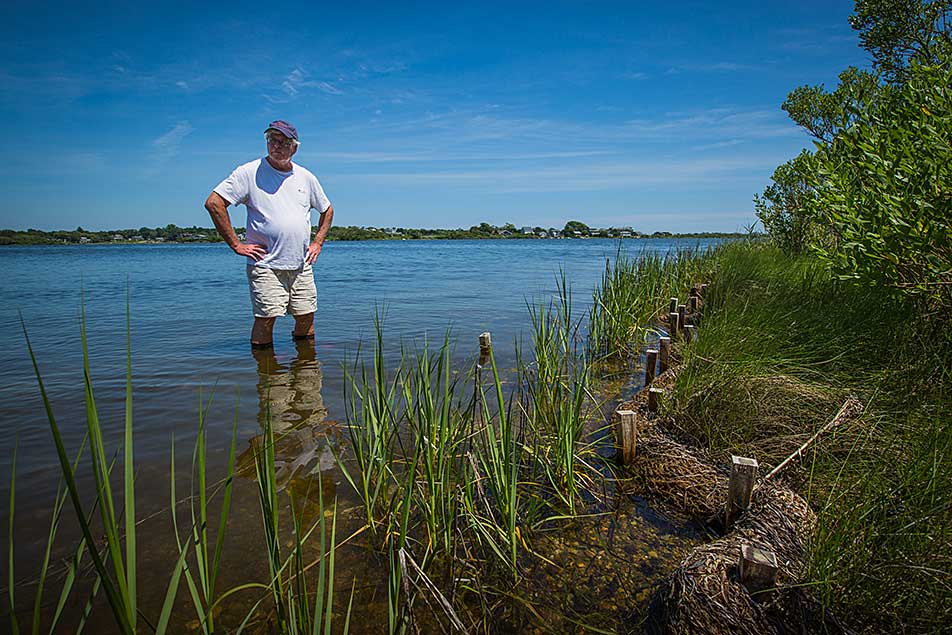
Given the drawbacks, some Rhode Islanders are looking into alternative shoreline protection methods. Soft protection methods, such as sand bags and coir logs made from coconut fiber are less expensive, biodegradable, and can be more effective at dissipating wave energy than hard structures. Other strategies include grading to decrease the slope of banks, planting vegetation, establishing intertidal shellfish reefs, and placing dredged material on the beach (beach nourishment). In 2014, The Nature Conservancy completed a 500-foot living shoreline pilot project using coir logs and bags of oyster shells to protect the salt marsh habitat on the Narrow River in the John H. Chafee National Wildlife Refuge in South Kingstown and Narragansett. Together The Nature Conservancy and their partners, including the Rhode Island Department of Environmental Management and the U.S. Fish and Wildlife Service, are examining the results to see what lessons can be learned, and what new strategies can be tested next.