Data
- United State Geological Survey: Real time and historical data
- Narragansett Bay Commission: Historical river and bay nutrient data
Nutrient monitoring at the Pawtucket station in the Blackstone River has shown a small decline in total nitrogen concentrations, though concentrations still spike to high levels, especially based on seasonal trends.
Improvements in a Historically Polluted River
The Blackstone River flows 48 miles, originating in Worcester, Massachusetts, then flowing past the Rhode Island towns of Woonsocket, Cumberland, Lincoln Falls, and Pawtucket before finally joining the Seekonk River just north of Providence.
Since 1790, when the first water-powered cotton mill in the US was built on the Blackstone River, industry developed along the river, transitioning from textiles to steel, leather tanneries, metalworking, and woodworking. While these industries provided vital economic contributions to the region, they also resulted in a legacy of pollution. In 1972, there were only two species of fish living in the upper reaches of the river, and in 1990, the Blackstone was described as “the most polluted river in the country with respect to toxic sediments.”
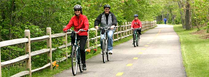
Since then, water quality in the river has started to improve, aided by the Clean Water Act of 1972, and other federal and state initiatives focused on the historical, cultural, and ecological value of the Blackstone River. More recent surveys of the river have counted as many as 23 fish species. Wastewater treatment plants discharging to the Blackstone River have installed upgrades to reduce nutrient pollution, and more are on the way. While the river retains its designation as unsafe for swimming or fishing, groups such as the Blackstone River Coalition are working to change that. Today, the river hosts the John H. Chafee Blackstone River Valley National Heritage Corridor, which is part of the National Park System, and an 11.6-mile bike path that allows Rhode Islanders to enjoy the Blackstone River in other ways.